Walk
142 St Austell, Mevagissey, Gorran Haven (Cornwall)
(Second
leg of English coastal walk – Broadstairs to Lands End)
Map:
L/R 204
Distance:
12 miles or 20 km approx
Difficulty:
demanding
Terrain:
coastal and cliff path
Access:
Parking at both ends – park in Charlestown to the south of St
Austell.
Public
transport: Buses every half hour (no 24) from St Austell to Gorran
Haven but latest back from Gorran Haven just before 17:00. If using
the bus you may want to go the other way round i.e. start at Gorran
Haven. Check with Traveline for bus times. As before, there are buses
back from Charlestown into St Austell and the station.
The
coastal path from Charlestown takes a rather tedious route along the
roads through Duporth before dropping down to Porthpean, a pleasant,
small cove. There appears to be a shorter route via sections of a
path along the cliff tops but having experienced some overgrown and
sometimes dangerous paths in the past I stuck to the SW Coastal Path
(there must be a good reason that the inland route has been chosen).
It
is quite hard going to Mevagissey but there are some good views. At
Black Head look out for the memorial dedicated to A L Rowse
(1903-1997) a well known British historian and Cornish poet. He
published over 100 books and had the reputation of being irascible,
for example he hated modern life and said: “The filthy twentieth
century I hate its guts”.
Continuing
around there is a garden with some strange sculptures of human and
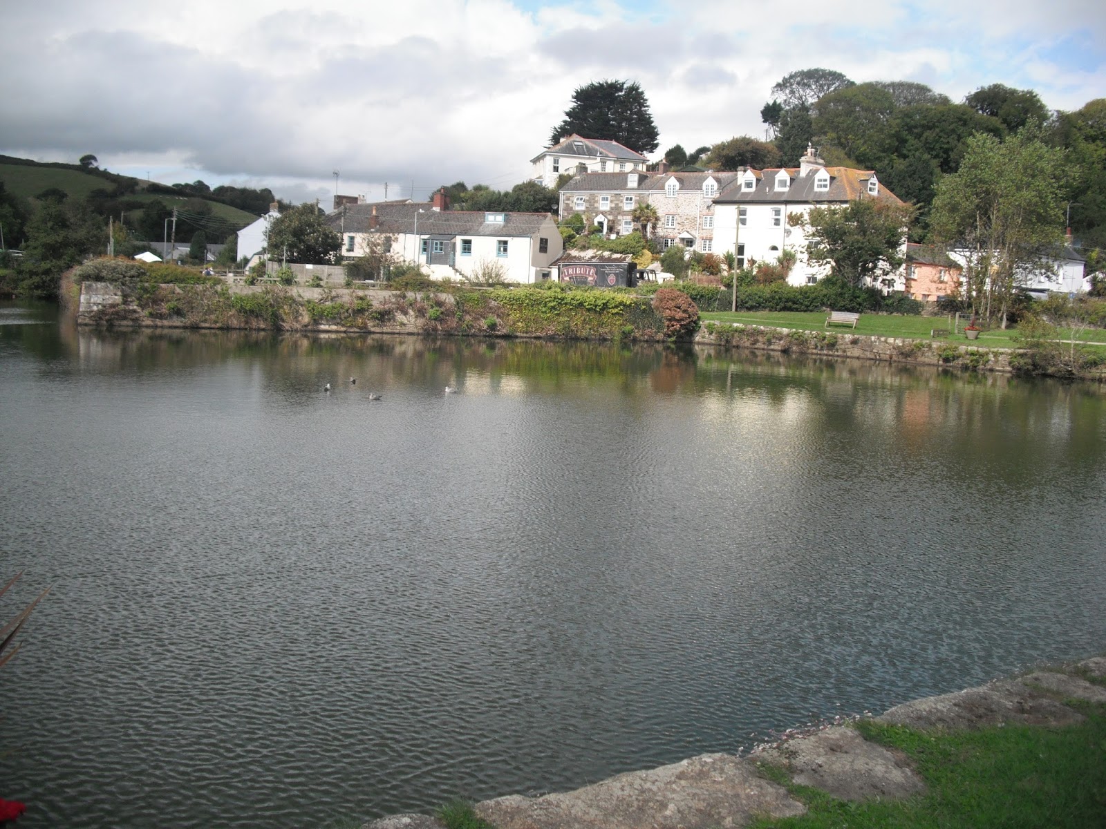
angel like figures. The next major landmark is the attractive beach,
ex harbour and settlement of Pentewan. The harbour and jetty built
here in 1744 were soon silted up by the constant stream of waste
washed down from clay-pits and other works such as tin mining
upstream. Reservoirs specially built to resolve the problem had
little effect and ships were even trapped in the harbour by fast
forming sandbanks.
The
coastal path follows the main road out of the village. I was held up
here for some time by some disobedient cows on their way to milking.
Mevagissey,
with its attractive harbour, is a popular place for tourists. The
fishing village with its narrow streets got very congested in the
days when pilchard fishing was at its height. Some loads had to be
carried on poles resting on the shoulders of two men walking behind
each other. In the 19th century the streets were said to reek of
fish. The Royal Navy was a major market for the pilchards and they
were known by the sailors as Mevagissey duck. Overfishing meant that
the number of pilchards caught by the 1950s was much lower, although
there are still pilchard boats operating today. A small park in the
town is known as Hitler's Wall – it got its name in the 1930s from
a council official who had a rather officious way of checking the
boats in the harbour. The well known West country group The Wurzels
wrote a song called Mevagissey.
About
half a mile south of Mevagissey is Portmellon which has a long
history of boat building. The beach gets completely covered at low
tide.
The
walk continues to Chapel Point which provides a high up view of the
remote Colona Beach. Near to hear is Turbot Point and Bordugan's
Leap. Sir Richard Edcumbe supported Henry V11 at the Battle of
Bosworth and as a reward was offered the Brodugan estate. He was
supposed to have chased Sir Henry Trenowth, a member of the Brodugan
family and a supporter of the doomed Richard 111, off the edge of the
cliff. Legend has it that he clambered aboard a boat and escaped to
France.
Photos show: Mevagissey Harbour; Pentewan; Porthpean.


No comments:
Post a Comment