Walk
185 Carlisle to Bowness on Solway (Cumbria)
(Fourth
leg of English coastal walk – Gretna Green to Chester)
Map:
L/R 85
Distance:
15 miles or 24 km approx
Difficulty:
Fairly easy, mostly flat, although surprising amount of small ups and
downs alongside the River Eden.
Terrain:
roads, coastal and river paths. At times the road between Solway
Firth and Burgh by Sands can flood up to 2 feet or more so check the
tides and beware if heavy rain or recent flooding in the area.
Access:
Parking in each location
Public
transport: 93 bus runs a few times a day back to Carlisle Bus
Station. Last one from Bowness is 18:58. Or you could get the 9:10
bus from Carlisle and walk back from Bowness.
Looking
around Carlisle is not possible on this day but would recommend a
half or whole day to visit Carlisle Castle and a look around the
town. Look out for the Citadel or Court Houses which are built in the
red brick typical of this town. The towers were built by Thomas
Telford in 1810 and replaced similar structures built by HenryV111
in 1542 as an additional defence for the castle. The castle was built
in 1092 by William Rufus and later served as a prison for Mary Queen
of Scots. Before the Norman Conquest, Carlisle was part of Scotland
and was not mentioned in the Domesday Book. William Rufus took the
town for England in 1092. The castle was used in the Civil War and
was held by he Royalist then the Parliamentarians. The last battle it
saw was in 1745 when there was a Jacobite Rising led by Bonnie Prince
Charlie.
Carlisle
was a big centre for textile manufacturing after the Industrial
Revolution. In the town centre check out Carlisle Cross, also known
as Market Cross, which was erected in 1682. The lion on top has one
of its paws on a book of the city and below there are four sundials.
Join
the Cumbria Coastal Way on the western/southern side of the River
Eden and walk seawards. Only a few steps inland just past Grinsdale
is (or was) St Kentigern's Church. It was built in the 18th
century on the site of a much older church. The saint, became Bishop
of Glasgow and died in about 612. When I was looking at the outside
of the church a man approached me and asked if I would like to look
inside. Turns out he was an estate agent planning to convert the
church into a residential property. I wonder what it looks like
now.......
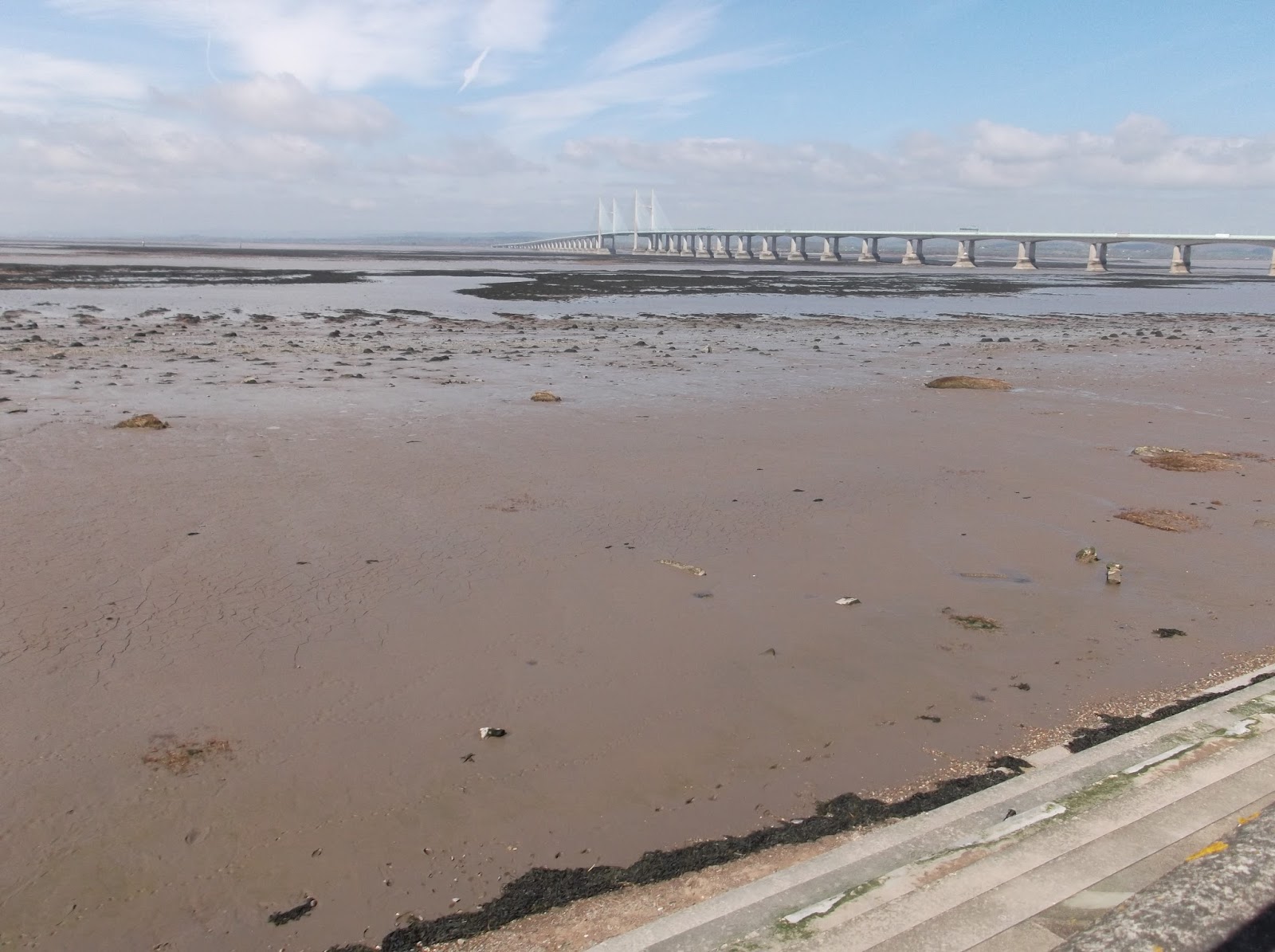
The
River Eden can be very attractive in parts especially when the sun
shines. At Beaumont the path crosses inland and follows the
Hadrian's Wall Path. At Burgh by Sands (no sands that I could see)
look out for St Michael's Church which was built using stone from the
Roman wall. Soon after this point you could take a diversion to Old
Sandsfield and view the memorial to Edward 1st
(hammer of the Scots) who died when he was on his way to mete out
rough treatment to Robert the Bruce in 1307. If you don't fancy this
diversion then keep walking and you will come to the Greyhound pub
where and stone and statue erected in 2007 marks the 700th
anniversary of his death aged 68. The pub gets its name from the
greyhounds that were trained by Lord Lonsdale on Burgh Marsh during
World War 2.
Continue
along the old Roman road to Drumburgh with its views to the Solway
coast. It was designated an area of outstanding natural beauty in
1964. The small village of Drumburgh was the site of a Roman fort. In
the 14th
century a Pele Tower House (small, fortified house) known as
Drumburgh castle was built with stone from Hadrian's Wall. You can
still see this with its main door on the first floor as extra
protection from raids across the estuary.
About
2 to 3 miles along the road is Port Carlisle which has a small island
just offshore. Port Carlisle was originally a fishing village with
the name Fishers Cross. The port was built in 1819 with a canal link
to Carlisle. Unfortunately, it closed in 1853 due to financial
difficulties and silting. The roads along this stretch are subject to
flooding at high tides.
The
final stop is Bowness on Solway. St Michael's Church in the village
had its bells stolen by Scottish raiders in 1626 then Bowness
villagers retaliated by taking the bells from a church near Annan in
Scotland. Every new vicar in Annan requests the return of the bells
but it is always refused!
Before
leaving Bowness make sure you check out the western end of Hadrian's
Wall. A plaque here marks the western end of the wall and notes that
it is 73 miles from Wallsend at the eastern end.
Photos: St Kentigern's Church at Grinsdale on the River Eden (as it was a couple of years ago); Greyhound Pub at Burgh by Sands; the western end of Hadrian's Wall at Bowness on Solway.