Walk
135 Wembury to Plymouth (Devon)
(Second
leg of English coastal walk – Broadstairs to Lands End)
Map:
L/R 201
Distance:
13 miles or 22 km approx
Difficulty:
moderate
Terrain:
coastal path and roads
Access:
Parking at both ends
Public
transport: Buses run from Wembury to Plymouth. This walk finishes at
the aquarium – there are plenty of buses around the Plymouth city
area.
Walk
down to the coastal path from Wembury. Look out for The Marine Centre
where you can learn about the local rock pools and what can be done
to preserve them. Walk around Wembury Point to Heybrook Bay.
In
1956 Heybrook Bay was the site of the Royal Navy's chief gunnery
school, HMS Cambridge, which had firing ranges near the village. It
was closed in 2006 and the National Trust has worked hard to
reinstate a natural landscape including demolishing the buildings.
Much of the area along this coast is a European Special Area of
Conservation because of the huge variety of marine plants, animals
fish and birds.
Follow
the path around to the picturesque Bovisand Bay. Opposite here, out
in Plymouth Sound, is Plymouth Breakwater. This structure is 1560
metres long and 65 metres high and 4 million rocks were used in its
construction in 1812. It was built to provide safe anchorage for the
British fleet in the Napoleonic Wars. The lighthouse at the end was
built in 1841. Near to the breakwater is a round fort built in 1865.
It was armed with cannons but was disarmed well before World War 1.
Since then it has been used as a signal station and a military
training school.
The
walk through Staddon Heights and towards Mount Batten provides good
views of the Sound and the various vessels making their way in and
out of Plymouth.
Nearer
to Mount Batten there is a good view of Drake's Island. Originally
this was called St Nicholas Island after the chapel there. It has
only consistently been called Drake's Island in the last 100 years or
so. Drake sailed from here in 1577 and in 1583 was made its governor.
From 1549 it was fortified against the French and the Spanish with
barracks on the island for 300 men. In 1963 Plymouth Council opened a
youth training centre there.
After
Jennycliff Bay there is a short climb to some seats at the top of
Dunstone Point providing a panoramic view of Plymouth and the sea.
After resting here continue to Mountbatten Headland where Mountbatten
Tower is prominent.
This
tower was thought to have been built between 1646 and 1652 probably
in response to a threat of war from the Dutch. It was named after
William Batten who had command of the Parliamentary Navy during the
Civil War. It is built of local limestone with walls about a metre
thick. Its last known use was as a coastguard observation post during
the 19th century.
Near
here was an RAF station for seaplanes in the Second World War based
on an earlier base in the First World War. Look out for the memorial
to RAF Mountbatten personnel killed between 1917 and 1992.
The
route continues through the bustling Mountbatten Centre which is a
major provider for outdoor adventurous activities. The stretch of
water here is known as the Cattawater and is where the River Plym
merges with Plymouth Sound. A water taxi can usually be seen going
between this point and Mayflower Steps in the main part of Plymouth.
Further
round is Turnchapel a rather unexpectedly quaint old fishing village.
If you fancy a pint of real ale The Clovelly Inn may well be your
stopping/resting point. Continue around the path and inlet to
Turnchapel Hard. You may spot the memorial here dedicated to the
embarkation of the US army to spearhead the Normandy Landings on D
Day. The road was reinforced to carry the US tanks and personnel.
The
path passes through Hooe Lake where a notice states that this is the
hub of cross country paths and trails. Continue around to Laira
Bridge where there are good views of the River Plym.
From
here the path, called The Coxside Trail, winds its way round to
Plymouth aquarium. A lot of this area was in the process of
regeneration from a former industrial base when I walked it. In an
area called Stonehouse there is a plaque which explains that in 1776
a cave was found which contained prehistoric bones. Further remains
were found in the 19th and 20th centuries
including humans, rhinoceros, lions and hyenas.
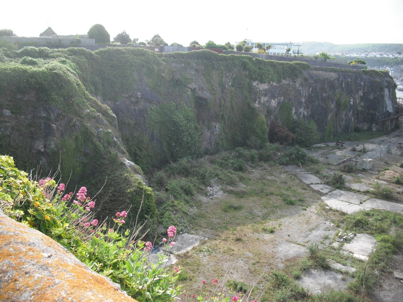
Photos show: a view of Heybrook Bay; a view from near Dunstone Point across to Plymouth; redevelopment alongside the Coxside Trail.


No comments:
Post a Comment